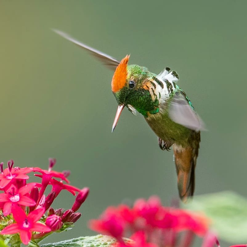
 This was the first National Park of Brazil, created in June of 1937. Located in the Serra da Mantiqueira, the Itatiaia National Park covers the municipalities of Itatiaia and Resende in the State of Rio de Janeiro and Bocaina de Minas and Itamonte in the State of Minas Gerais, where approximately 60% of its territory is located. The Unit is located between the cities of Rio de Janeiro and São Paulo, near the Presidente Dutra Highway, with the closest economic center being the city of Resende. It presents a relief characterized by mountains and rocky elevations, with altitude ranging from 600 to 2,791 m, at its culminating point, the Pico das Agulhas Negras. In the region of the Itatiaia Plateau, also known as Upper Part, are the altitude fields and the suspended valleys where several rivers are born. The area of the Park covers springs of 12 important regional watersheds that drain into two main basins: the Rio Grande, affluent of the Paraná River, and the Paraíba do Sul River, the most important river in Rio de Janeiro. The lower part is characterized by its exuberant vegetation and generous water courses, with several areas suitable for bathing. It has easy access from the Via Dutra and receives the largest flow of tourists from the Park, concentrating most of the visitation structure, highlighting the Visitor Center, revitalized for the 70 years of the park.
Veja nosso pacote clicando no link abaixo:
https://birdsrio.com.br/pt_BR/expedicao-itatiaia-rj/

 <img class="aligncenter size-large wp-image-19447" src="https://...
 <img class="aligncenter size-large wp-image-19452" src="https://...
 <img class="aligncenter size-large wp-image-19440" src="https://birdsrio.c...